Open building-footprint data is quietly powering the biggest public health and climate upgrades on the continent.
If you have ever tried to build a clinic, vaccinate a child, or protect a flood-prone city without a decent map, you will understand why this story matters.
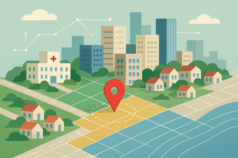
Across Africa, millions of people live in places that do not show up on the official record. Not on the census. Not on the satellite view. Not on the disaster risk model. Now, a new dataset built by Google Research Africa wants to change that. It starts with rooftops. Literally.
Open Buildings is a free, AI-powered collection of over 1.8 billion building footprints. Think of it as a blueprint for every roof on the continent. It sounds niche, but it is already proving to be one of the most practical uses of AI in the real world. Governments and NGOs in Rwanda, Nigeria, South Africa and beyond are using it to find unvaccinated children, redesign flood alerts and plan better clinics.
This is not some tech-for-good gimmick. This is life-and-death infrastructure built on open data.
Google made the map. Africa is making it matter.
In Nigeria, public health teams armed with this dataset found 3,700 “invisible” settlements. These were villages that did not exist on any previous map. Those new locations led to 78,000 children finally receiving their first vaccines. In a region where “zero-dose” children often stay off the grid and die young, that is a massive shift.
In Rwanda, health officials used the same dataset to redesign their national clinic network. The goal is to ensure that 92% of citizens can reach healthcare in under 30 minutes. If you are in labour and the nearest clinic is a 90-minute walk away, that is not just inconvenient. That is dangerous.
In Johannesburg, which has doubled its population since 1996, urban planners are using the data to map homes along riverbanks and overlay flood-risk models. A pilot project that started in Nairobi, where over 278,000 people were displaced in the April 2024 floods, is now being adapted for Jozi and four other cities.
This is not just dots and polygons. It is lives, mapped in high resolution.
The tech is clever. The licence is even better.
Open Buildings turns high-resolution satellite imagery into outlines of individual rooftops. Each one represents a building and, potentially, a home. The latest release adds height and time series data, known as “2.5D temporal” mapping. This allows governments to track how fast settlements are growing and how deep floodwaters might go.
And it is free. No API keys. No subscriptions. Just an open dataset under Creative Commons (CC-BY-4.0), with full documentation and code samples available here.
That part matters. In a world where most geospatial tools are locked behind corporate paywalls or buried in obscure licences, Open Buildings gives the best tools to the people closest to the problem.
It is AI, but grounded and grown in Africa.
Unlike the usual Silicon Valley storyline, this dataset was built in Google’s Accra AI lab. That local-first approach shows. The team did not just optimise for image recognition. They built something that works for chaotic growth patterns, informal settlements and edge-of-grid communities.
In other words, this is for the real Africa, not the brochure version.
It is a refreshing use of AI that is not trying to replace humans. It is trying to find them.t’s about building smarter infrastructure for the people who need it most.