
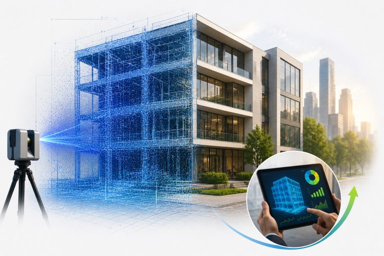
Most conversations about LiDAR scanning in construction focus on the quality of the measurement. According to Edward de Jager, Head of Operations at BPAS Architects, that framing obscures where the value actually sits. The most persistent misconception about the technology, he says, is that a raw LiDAR point cloud, a massive collection of 3D data points generated by scanning a space with a laser sensor, constitutes a finished building information model. Converting that point cloud into a smart, parametric BIM model requires significant human expertise and processing time, which makes the scan less an output and more a data foundation for everything that follows.
The compounding cost of close enough
Construction projects rarely fail in a single moment. They accumulate problems. Traditional survey methods carry a level of accepted inaccuracy that gets embedded in the early stages of a project and propagates through every subsequent layer of design, engineering and detailing. “The industry often defaults to ‘good enough’ traditional surveys,” says De Jager, “ignoring the compounding interest of errors that occur when every subsequent consultant works off an inaccurate original measurement.”
The consequence tends to be a cascade of small misalignments that eventually manifests as structural clashes, wasted materials and expensive redesigns once a build is already active. De Jager puts the cost of late-stage structural surprises at between 10% and 20% of project budgets, against which the cost of a LiDAR scan is, in his words, negligible.
In South Africa’s construction environment, where cost overruns are a persistent feature of both public and private development and where rework is expensive given skills constraints and rising material costs, these numbers carry real weight. The economics of upfront precision map well onto local conditions.
The risk gets moved, not compounded
LiDAR is often sold as a more sophisticated survey instrument. Understanding it as a risk management tool changes the cost-benefit calculation considerably. When accurate scan data is integrated into BIM, teams are no longer working from assumptions or outdated drawings but from a precise digital representation of the building as it exists. Project decisions that would otherwise get made mid-construction, when changing course is expensive, can be made earlier, when they’re relatively cheap.
De Jager points to prefabricated elements as a clear example. Structural steel, timber decking and bespoke components produced off-site depend entirely on accurate dimensional data. A millimetre-accurate scan allows clash detection to happen digitally, long before anything physical is ordered or installed. Problems that would otherwise surface during construction, generating variation orders and delays, get resolved during design. The assembly timeline compresses and on-site adjustment costs fall.
Other scanning technologies have made comparable arguments. Matterport, which uses photogrammetry and structured light rather than LiDAR, found significant traction in real estate documentation and post-construction records. Apple’s LiDAR sensor on recent iPad models brought accessible scanning to a much broader audience. For structural-grade accuracy in active construction projects, purpose-built LiDAR workflows remain the relevant standard. The gap between consumer-grade scanning and the dimensional precision that supports prefabrication decisions is not a marginal one.
The asset lifecycle argument
Where BPAS extends the case is in the asset lifecycle. A LiDAR-based digital twin, a dynamic virtual representation of a building updated with live systems and sensor data, can serve as a long-term operational record supporting predictive maintenance, energy optimisation and facilities management well after construction is complete. De Jager describes using efficiency ratio calculations derived from digital twins to support acquisition decisions across large property portfolios, which extends the technology’s relevance into asset strategy territory.
This sits alongside a candid qualification from De Jager. Without consistent updates and integration with building management systems, a digital twin becomes a static 3D snapshot. The building changes, and a model that doesn’t keep pace with it loses its operational relevance quickly.
That caveat has particular weight in the South African market. The infrastructure required to maintain a useful digital twin, including building automation systems, sensor integration and ongoing data management capacity, isn’t evenly distributed across the sector. For large commercial developments or institutions managing significant property portfolios, the return on investment is reasonably clear. For smaller projects, the cost-benefit calculation requires more careful analysis before committing to the full lifecycle argument.
Capability, not just equipment
Purpose-built LiDAR scanners from Leica, Trimble and FARO have been practically capable for years. The gap is in how the data gets used. A point cloud that sits unprocessed, or that gets converted into a model without the contextual judgement of an experienced architect or engineer, doesn’t produce the downstream benefits De Jager describes.
This shows up consistently across digital adoption in South African enterprises. The gap between what monitoring and measurement tools can do and what organisations actually extract from them tends to be a governance and expertise problem, and LiDAR in construction sits inside that same dynamic. Firms that treat data quality as a structural part of how they work, rather than an optional enhancement, tend to get proportionally more out of it.